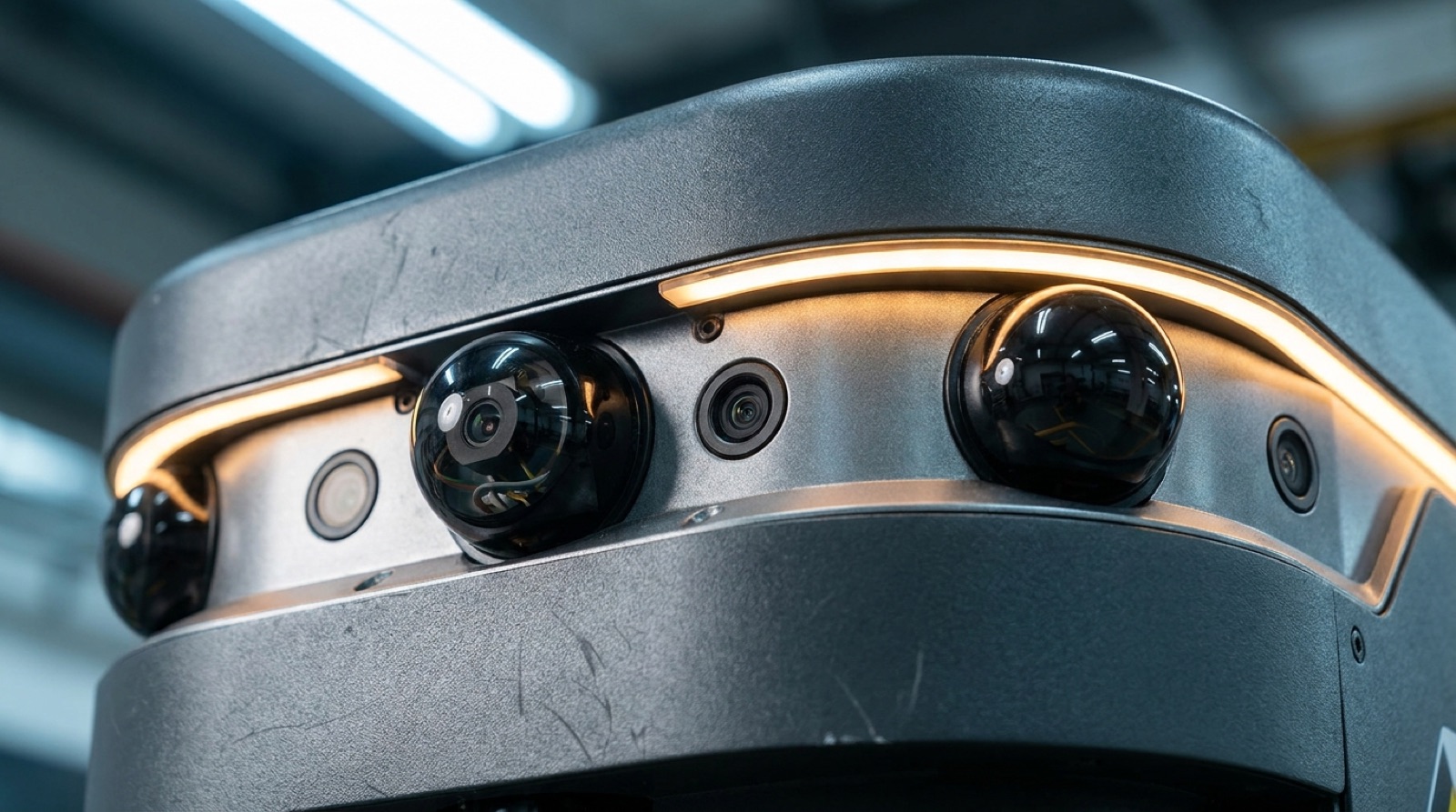
Sensor HousingDual 3D LiDAR + depth camera array
Model AR-600 · Hauler
Full technical specification for the flagship of the Anvil fleet — payload, battery, navigation stack, dimensions, and how it plugs into the systems you already run.
Full Specification
| Payload Capacity | 600 kg (1,323 lb) max · 450 kg sustained continuous duty |
| Deck / Lift | Electric scissor lift, 100 mm stroke · pallet/cart interchange in <15 sec |
| Drive System | Four-wheel independent traction · mecanum option for omnidirectional aisle transit |
| Max Speed | 1.8 m/s (6.5 km/h) loaded · 2.2 m/s (7.9 km/h) unloaded |
| Turning | Zero-radius pivot (mecanum) · 1.2 m radius (standard drive) |
| Battery | LiFePO4 pack · 18 hr typical runtime per shift pattern |
| Charging | Opportunity charge to 80% in 30 min · optional hot-swap pack, <2 min changeover |
| Navigation | Dual 3D LiDAR (360° coverage) + 4x depth cameras + IMU/wheel odometry fusion |
| Mapping | Infrastructure-free SLAM — no tape, magnets, or fixed QR grid required |
| Positioning Accuracy | ±15 mm |
| Dimensions (L×W×H) | 1,340 × 810 × 320 mm (deck height) |
| Ground Clearance | 25 mm |
| Unladen Weight | 210 kg |
| Operating Temp | 0°C to 40°C standard · −25°C cold-storage variant available |
| Safety | Dual redundant LiDAR safety fields · ISO 3691-4 compliant · amber beacon + audible alert · E-stop |
| Fleet Integration | REST API + MQTT telemetry · WMS/WES middleware connector · up to 200 units/site |
| Noise | <62 dB(A) at 1 m |
Navigation & Sensing
Every AR-600 ships with the same sensor stack that draws its own map — no tape, magnets, or fixed reflectors to install before day one.
Front and rear units give full 360° coverage with overlapping fields, so a blocked sensor on one corner never blinds the robot.
Four wide-angle depth cameras catch low-profile obstacles and drop-offs that LiDAR's scan plane can miss.
Inertial and odometry data fuse with the LiDAR map to hold position through short sensor dropouts — a dusty aisle won't stop the run.
The robot builds and updates its own map from what it sees. Move a rack, and the fleet adapts on the next pass — no re-survey required.
Fleet Integration
Anvil doesn't ask you to replace your warehouse software to get a robot fleet on the floor.
Task dispatch over REST, live telemetry over MQTT — standard protocols your integration team already knows.
A middleware layer maps pick and putaway tasks from your warehouse system straight into the fleet's task queue.
One dashboard schedules and monitors up to 200 units per site, balancing traffic and charging automatically.
Ready For The Numbers On Your Floor
We'll walk a unit through a route shaped like yours, loaded or not.